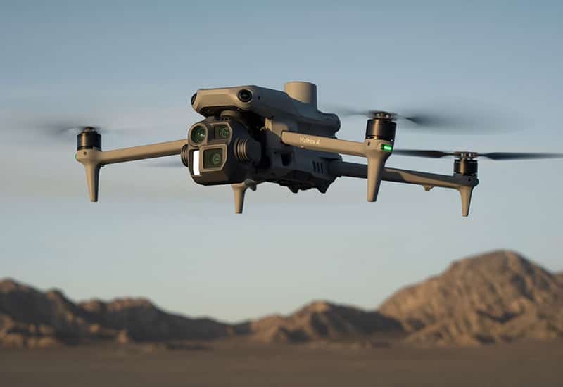
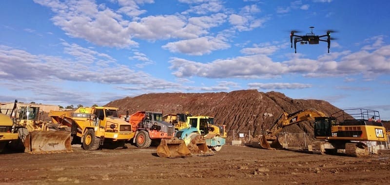
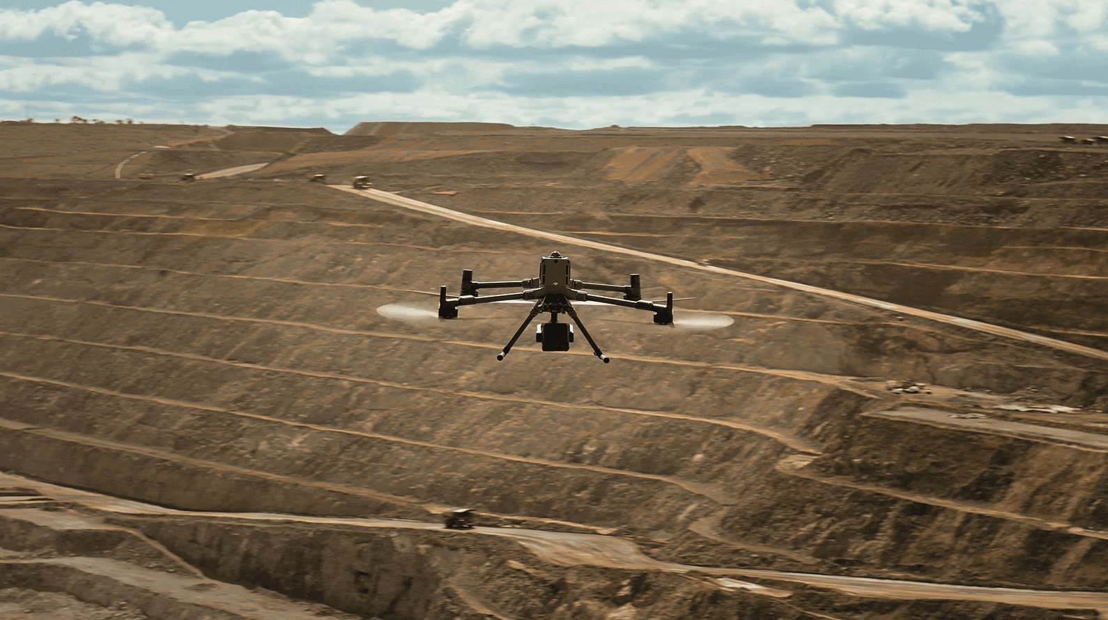
Today, it is believed around 70% of the mining majors use unmanned aerial vehicles (UAVs), while 37% is the last comparable figure provided for junior miners by analytics firm GlobalData*.
From security-based applications initially; now exploration, surveying and mapping represent the lion’s share of operational tasks undertaken by drones in mining.
“UAV uptake by juniors remains relatively low and yet, it is the early-stage mining activities that are the main focus of juniors where drones really shine with their cost savings and safety enhancements,” notes Phil Smerkovitz, MD of enterprise-class UAV consultants, GoUAV.
The popularity of UAVs across the mining industry has grown rapidly in recent years. Sites across Africa, Australasia and elsewhere are showing substantial penetration by drones as pressure is created on mines to produce the minerals required by global technology.
As essential as dynamite became to the mining industry from the 1870s, drone-based geospatial mining solutions are today helping mining teams use better site data to improve productivity, manage operating costs and strengthen safety.
Drone uptake by miners lagging
“Drones in mining usually conjure up thoughts of security and surveillance. Their real value, however, lies in precision site intelligence that integrates space, air and ground to provide a clearer, layered understanding of an area,” explains Smerkovitz.
Satellite remote sensing, UAV thermal imaging, LiDAR point clouds, digital elevation models, aeromagnetic information and ground validation are all combined to improve site visibility.
“Each layer contributes different information and addresses the limitations of the others,” adds Smerkovitz.
Drone uptake by miners lagging
Drone-based workflows that include aerial surveying and mapping, thermal imaging and LiDAR can safely capture detailed site information at lower altitudes and at a higher spatial resolution.
What’s more, the entire lifecycle of a site can be supported, from early exploration and construction planning to drill and blast, load and transport, operational management, safety monitoring and eventual reclamation.
Smerkovitiz emphasizes that “drones do not replace geologists, surveyors or ground validation.” He explains that UAVs and their ground stations provide another layer of surface information that can help teams develop a more comprehensive understanding of an area while also enabling them to prioritise fieldwork.
Drones have spent the last five years proving their worth in perimeter monitoring, incident response, illegal mining detection and safety oversight.
Drone uptake by miners lagging
Smerkovitz further explains that mines outsourcing drone operations is not the best use of the technology. Bringing drone dock operations within the mine helps take control and better manage the costs of UAV operations. Large firms know their own installations better than anyone else.
The recently-launched GoUAV Drone Dock Enablement Programme ticks all the required boxes when it comes to SA Civil Aviation Authority compliance, and GoUAV partners with the mine to set up the mobile drone dock and train staff. Planning and executing drone missions, supervising the fleet and managing data can now all happen in-house.
In 2026 and beyond, drones will increasingly support the full mining lifecycle with measurable geospatial data that enable mining teams to improve visibility, reduce risk and verify progress based on data rather than assumptions.
“While mining today is more data-driven and runs on accurate, repeatable site intelligence, drone-based conclusions should still be supported by geological expertise and appropriate field validation,” concludes Smerkovitz.
GoUAV, a TeleEye SA company, is a distributor of DJI enterprise drone solutions and media equipment, as well as other leading brands of payloads.
Launched almost a decade ago, GoUAV.co.za is South Africa’s most established online portal dedicated to the innovative application of UAVs, aerial application software and accessories.